Chapter 11Spatial Interaction as Threat: Modelling Maritime Piracy
Elio Marchione and Alan Wilson
11.1 The Model
Spatial interaction modelling is usually associated with trips or other kinds of flows. In this Chapter, we aim to show how it can be used to represent threat. We illustrate this with a model of maritime piracy: the pirates threaten shipping, naval vessels can offer some defence. We are aware, however, that this idea can be applied much more widely.
Our study area is shown in Figure 11.1. This shows the broader geographical context and then, specifically, we focus on Somalia and the Gulf of Aden. This work complements Marchione et al. (2014).
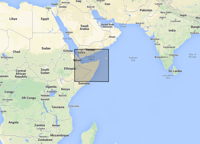
Figure 11.1 Area under analysis
The specific area is shown in Figure 11.2 – divided into a kilometre-square grid. In this figure, we show the likely density of vessels passing through the Gulf to and from the Suez Canal. We show below how this is constructed as part of the model.
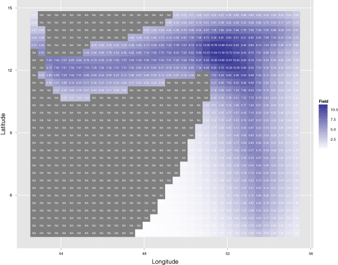
Figure 11.2 Vessels volume field 
To formulate the model, we define the following variables: ![]() , measure of propensity to attack from ; , volume field ...
, measure of propensity to attack from ; , volume field ...
Get Global Dynamics now with the O’Reilly learning platform.
O’Reilly members experience books, live events, courses curated by job role, and more from O’Reilly and nearly 200 top publishers.

