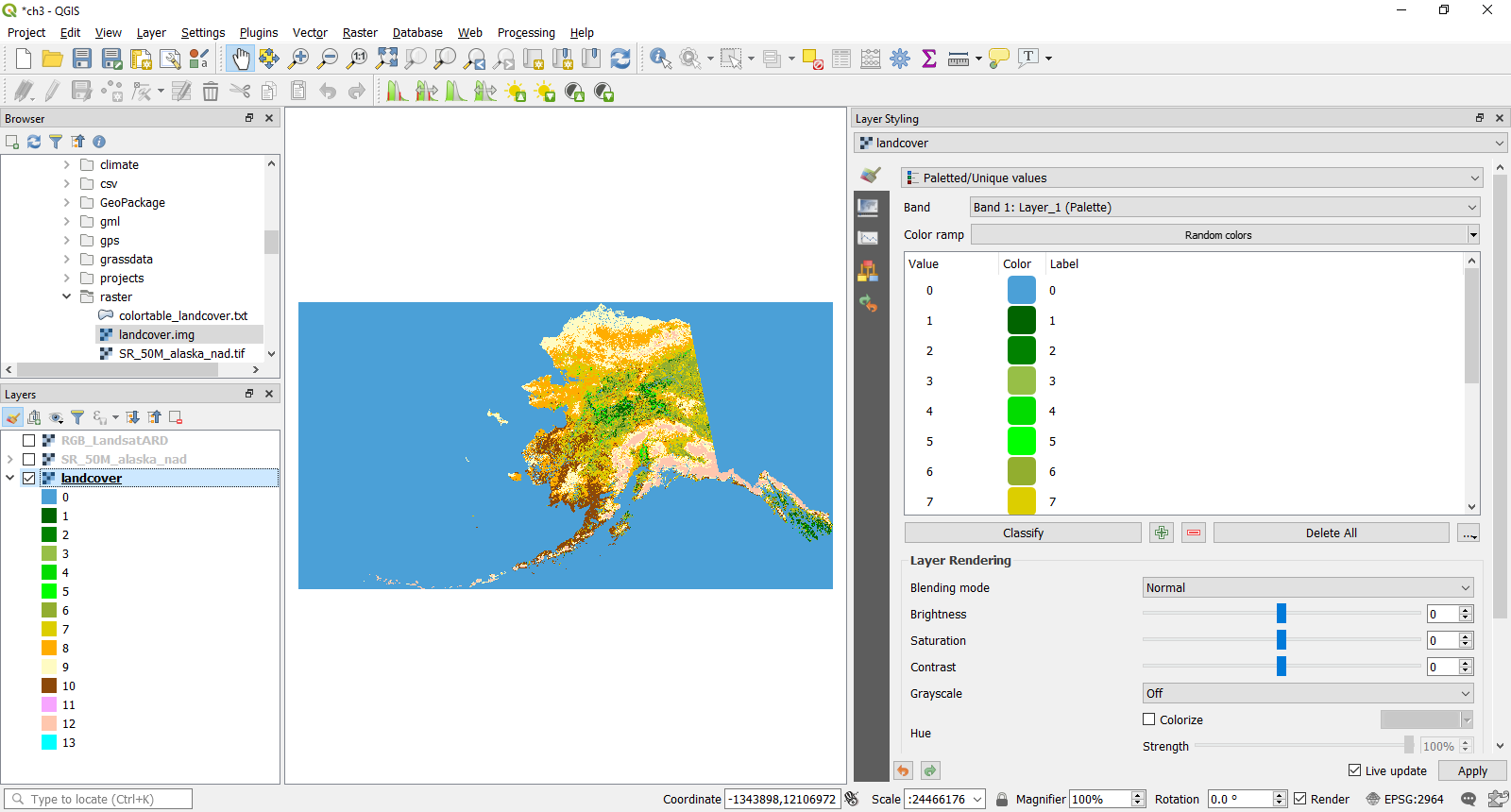
To conclude this section on styling raster data, let's take a look at the landcover map. By default, when data is added to the layer panel, the landcover map will look similar to the following screenshot:
Displaying landcover data in QGIS
In the same way as for layer styling within the terrain section, we have the ability to make several changes to the landcover layer. We are not going to alter the color ramp here. Landcover raster datasets are often based on or generated from classifications of Satellite data. If your landcover class has an appropriate color, then this will help the end user to understand the ...

