Perform the following steps to analyze spatial data with R and QGIS:
- Load the airport data in the QGIS interface by navigating to Layer | Add Layer | Add Vector Layer... and browse the airport.dbf file:
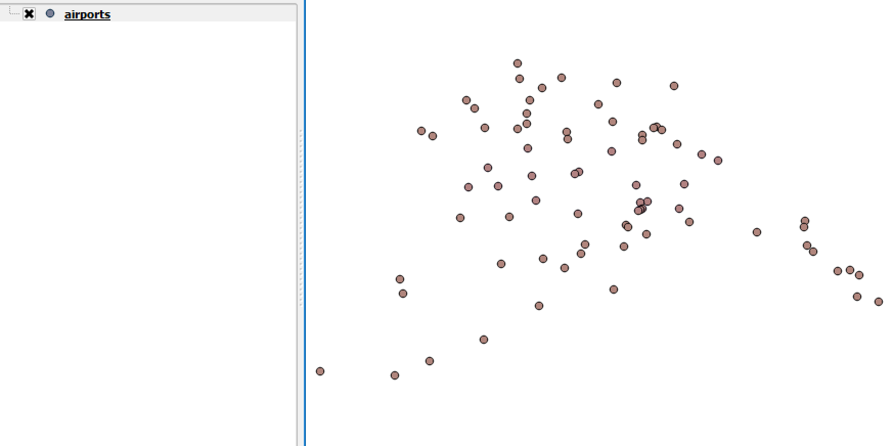
- Now we can visualize the airport data:
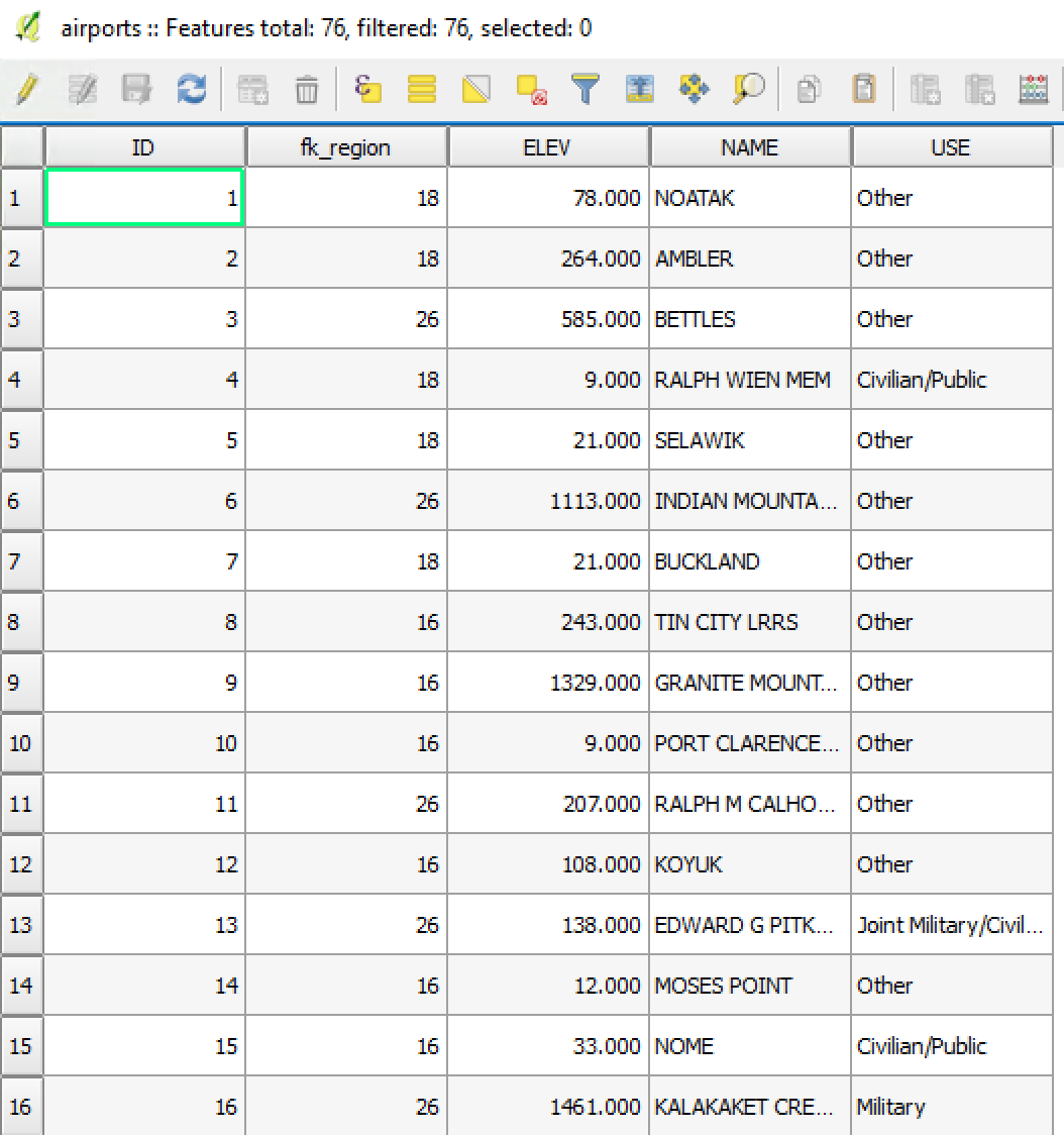
- Check the attributes by right-clicking over the airports file and then click on Open Attribute Table from the QGIS layer panel:
- Navigate to the processing toolbox panel and click on ...

