2
3D Digitization Using Images
2.1. History in France
Although it seems unnecessary at this juncture to restate the history of photogrammetry (we refer the reader to [LAU 99, ROU 36] or [VIN 13]), it is interesting to highlight the fact that the first projects which used this technique were on outstanding sites. An early example of this comes from Aymée Laussedat who, from 1850, produced a plan of the buildings opposite his office by using a camera lucida. In Germany, at the end of the 19th Century, Meydenbauer institutionalized photogrammetry for the architectural surveying of monuments [ALB 01].
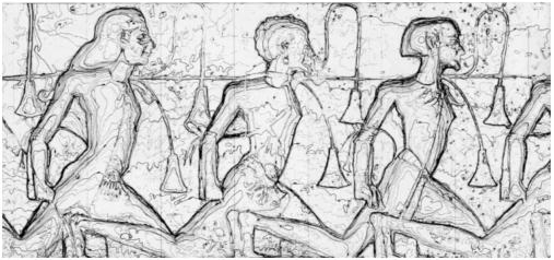
Figure 2.1. Abu Simbel, Egypt, image XVI [IGN 67]

In France, one of the pioneers of photogrammetry in architectural surveying was Henri Deneux [DEN 30], Chief Architect of Reims Cathedral, who developed his own methodology to obtain graphical reconstructions of monuments. Soon after its creation in 1940, the Institut géographique national (IGN) (The National Geographic Institute) was given the task of examining the potential of using photogrammetry to document architectural heritage. The founder of the French photogrammetry industry, Georges Poivilliers [VIN 13], carried out this study. He conducted the first tests in the winter of 1944 in the Sainte Chapelle in Paris, which were presented at the International Photogrammetry Congress in the Hague [IGN 48]. Photogrammetry quickly showed ...
Get 3D Modeling of Buildings: Outstanding Sites now with the O’Reilly learning platform.
O’Reilly members experience books, live events, courses curated by job role, and more from O’Reilly and nearly 200 top publishers.

