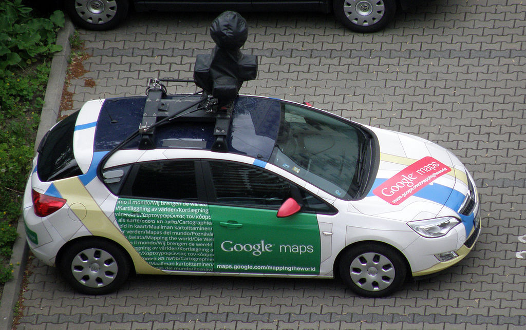
In 2005, Google launched a satellite-imagery-based system for outdoor navigation, and in the next 11 years, Google Maps evolved to include real-time traffic conditions, panoramic street views, and route planning. For the first time, people were introduced to a new system of navigation where they were not dependent on physical maps or transit booklets. They could confidently go to a new city and navigate like a local. Here is a Google Maps car that collects street view data:

The practicality of Google's idea fits well with the concept of the Internet of Things. In the IoT's context, either a user needs to know ...

