APPENDIX 5
AUSREP
The contents of this Appendix reproduced by kind permission of the Australia Maritime Safety Authority, to whom grateful thanks is extended.
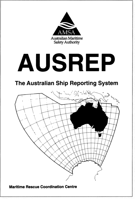
Co-ordinates of Australian SAR and AUSREP area are:
The coast of the Antarctic continent in longitude 75° E thence
| 6°00'S | 75°00'E | 9°37'S | 141°02'E |
| 2°00'S | 78°00'E | 9°08'S | 143°53'E |
| 2°00'S | 92°00'E | 9°24'S | 144°13'E |
| 12°00'S | 107°00'E | 12°00'S | 144°00'E |
| 12°00'S | 123°20'E | 12°00'S | 155°00'E |
| 9°20'S | 126°50'E | 14°00'S | 155°00'E |
| 7°00'S | 135°00'E | 14°00'S | 161°00'E |
| 9°50'S | 139°40'E | 17°40'S | 163°00'E |
| 9°50'S | 141°00'E to the coast of the Antarctic continent in ... | ||
Get GMDSS for Navigators now with the O’Reilly learning platform.
O’Reilly members experience books, live events, courses curated by job role, and more from O’Reilly and nearly 200 top publishers.

