Chapter Nineteen. Landform Drawings
Objectives
After studying the material in this chapter, you should be able to:
1. Read and draw a plat, topographic contour map, street contour map, and highway plan and profile.
2. Read the elevation of a tract of land using contour lines.
3. Identify the scale and compass orientation of a topographic map.
4. Read and notate property boundaries on a land survey map.
5. Create a profile map from contour lines.

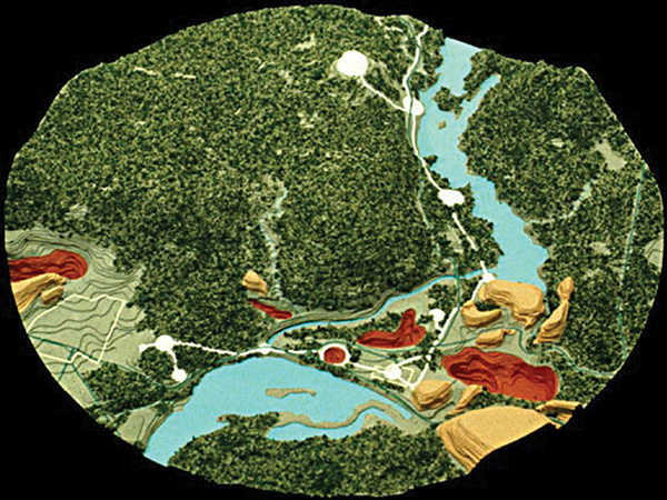
3D Geologic Terrain Model (Courtesy of Howard Architectural Models, Inc.)
Get Technical Drawing with Engineering Graphics, 15th Edition now with the O’Reilly learning platform.
O’Reilly members experience books, live events, courses curated by job role, and more from O’Reilly and nearly 200 top publishers.

