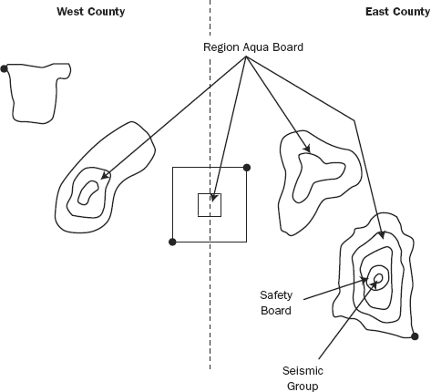
It turns out that several jurisdictions are involved in the chain of islands. As shown in
Figure 5-12, the land area is divided into a West County and an East County, by a north-south line that runs from 515000, 4300000) south to (5151000, 4160000). This line splits the square island. However, all inland lakes are controlled by the Region Aqua Board. The volcano is responsibility of the Safety Board, except for its cauldron, under the jurisdiction of the Seismic Group.