August 2013
Beginner
484 pages
12h 42m
English

You’ll learn to:
Use Google Maps to map anything
Fly around the world with Google Earth
Get directions for walking, driving, biking and for public transportation
Use the GPS with turn-by-turn navigation
WHAT’S THE MOST-USED SMARTPHONE feature these days? Quite possibly maps and navigation. And they can do much more than show you where you are or how to drive to your next destination. They can help you find a great nearby restaurant, pull up the fastest route to your friend’s house via public transportation, show you which highways are clogged with traffic, and more.
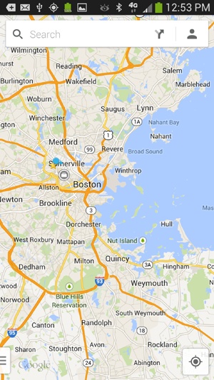
Google Maps on the Galaxy S4 is the mobile version of the renowned Google Maps website (http://maps.google.com). In fact, the S4’s Maps app is even more powerful than the web version, since it can incorporate GPS information.
Type any address or point of interest in the U.S.—or in many places all over the world—and you see a map. You can choose a street map, an aerial satellite photo, or a combination of the two (more on that on Changing Your View).
But don’t settle for looking around. You can also find nearby businesses, points of interest, and traffic congestion. Maps also offers turn-by-turn directions, even including public transportation in some cities. There are even bike-friendly ...
Read now
Unlock full access


