Plot Wireless Network Viewsheds with GRASS #74
Chapter 6, Mapping on Your Desktop
|
365
HACK
Again, we have to emphasize that analysis from elevation models is only the
beginning for building wireless networks. Even if the line-of-sight plot says
the network is marginal or it only barely can’t be done, you might want to
try to set up the link anyway; digital elevation models have been known to
be erroneous, or at least inaccurate. Further, no terrain model can properly
account for ground clutter, such as buildings and trees. In the end, all this
sort of analysis can do is help you prioritize your options to help to figure
out which ones are more or less likely to work—but, sometimes, that’s all
you need to get started.
See Also
• “Why You Can’t Watch Broadcast TV” [Hack #18]
• “Add Relief to Your Topographic Maps” [Hack #72]
• “Share Your GRASS Maps with the World” [Hack #75]
• “Analyze Elevation Profiles for Wireless Community Networks” [Hack #19]
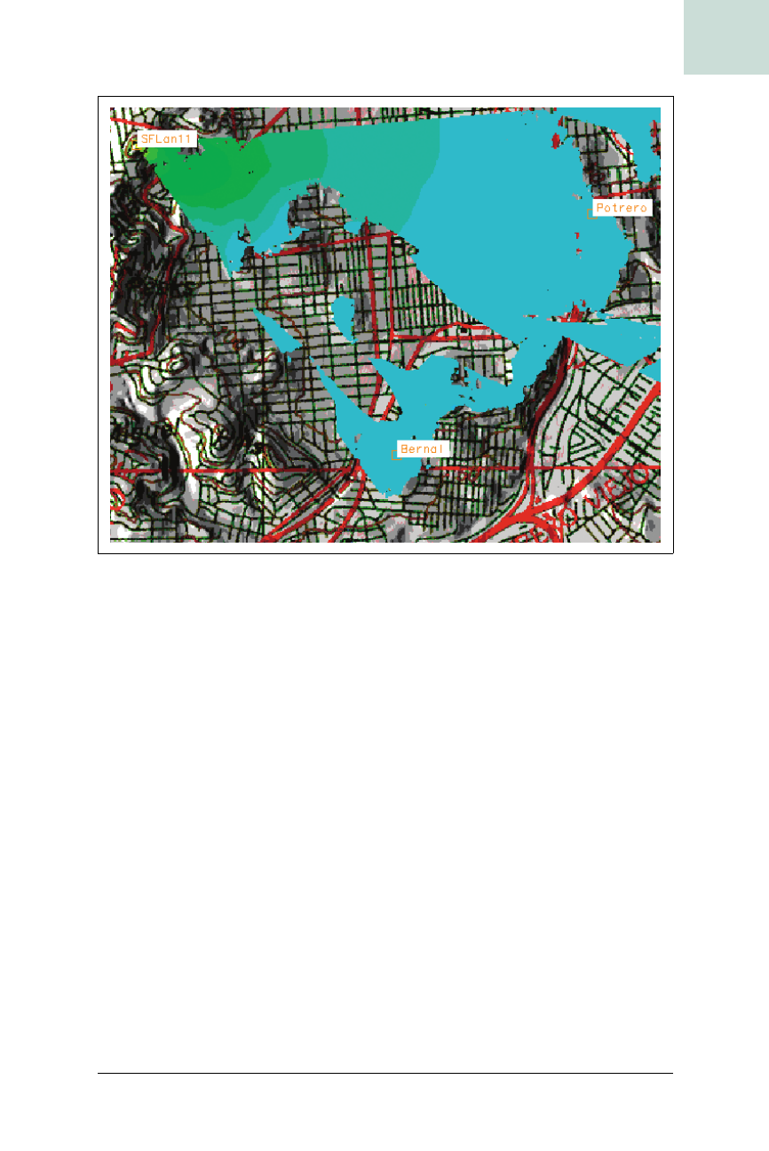
Figure 6-45. Relief map with site labels


