Experiment with Different Cartographic Projections #28
Chapter 3, Mapping Your World
|
127
HACK
maps with the -Jq option. We discuss this projection in great detail in “Plot
Arbitrary Points on a World Map”
[Hack #29].
Azimuthal Projections
In contrast to cylindrical projections, azimuthal projections are created by
projecting, or in some way unwrapping, Earth’s surface on to a flat plane.
This style of projection lends itself very well to mapping the poles.
Stereographic projections. The following pscoast command plots a
stereographic projection of the North Pole, which can be seen in Figure 3-20:
$ pscoast -JG0/90/18c -R-180/180/45/90 -Bg30/g15 -G64/255/128 -S64/128/255 \
-N1 -A5000 > n_pole.ps
The -JG0/90/18c parameter gives us a stereographic projection of the upper
half of the Northern Hemisphere, oriented to 0º longitude, and centered on
90º North—i.e., the North Pole. The stereographic projection is essentially
the image that would result if a light were projected through the planet from
the opposite side of the planet onto a flat plane touching the surface at
exactly one point. As it happens, the stereographic projection is a conformal
projection, which, if you’ll recall, means that it preserves the shapes of land-
masses. Interesting results can be created if different center points and
extents are chosen—try it!
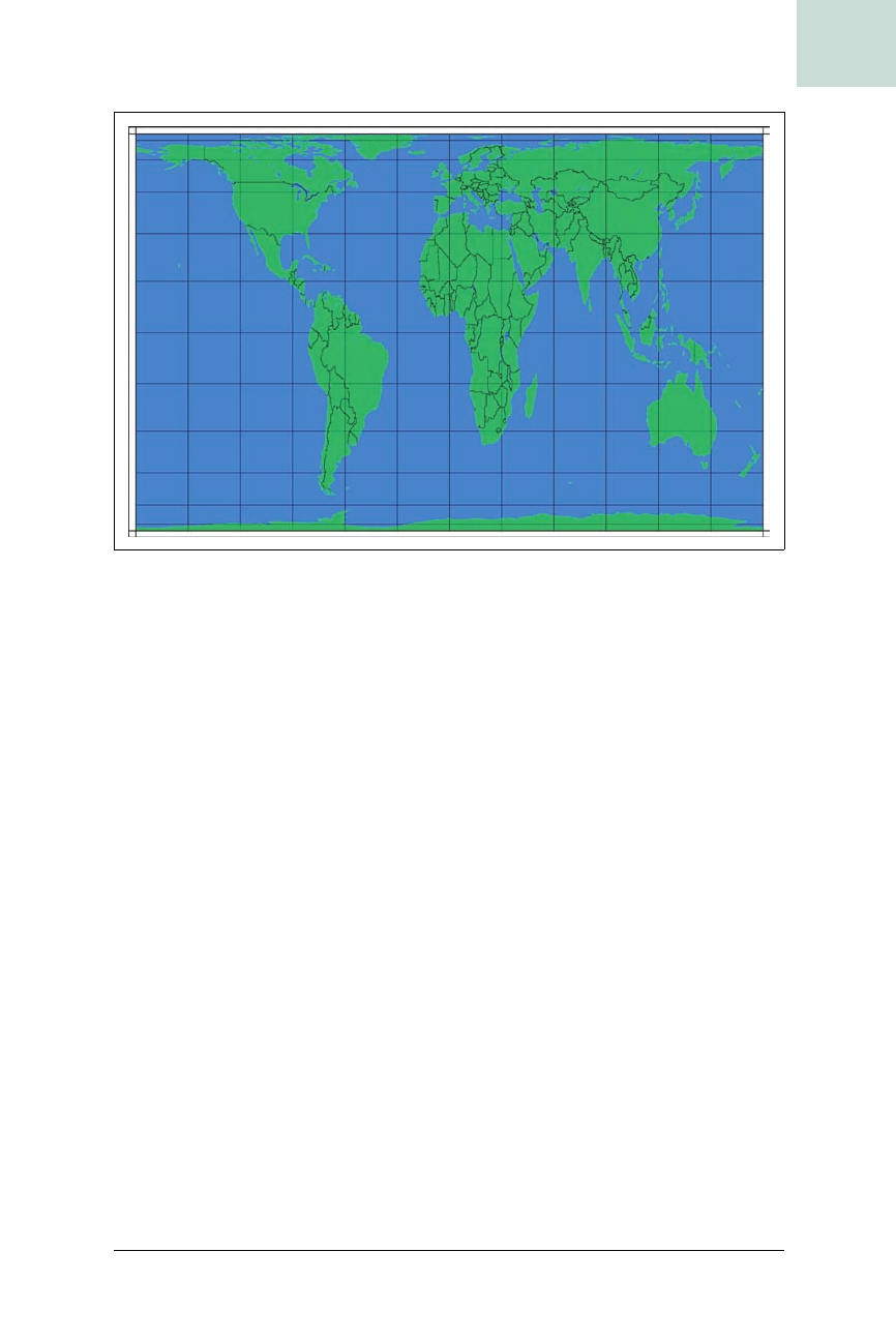
Figure 3-19. The world in a Peters projection


