Explore a 3-D Model of the Entire World #24
Chapter 3, Mapping Your World
|
109
HACK
All these specialty sets can be explored under the Tools menu.
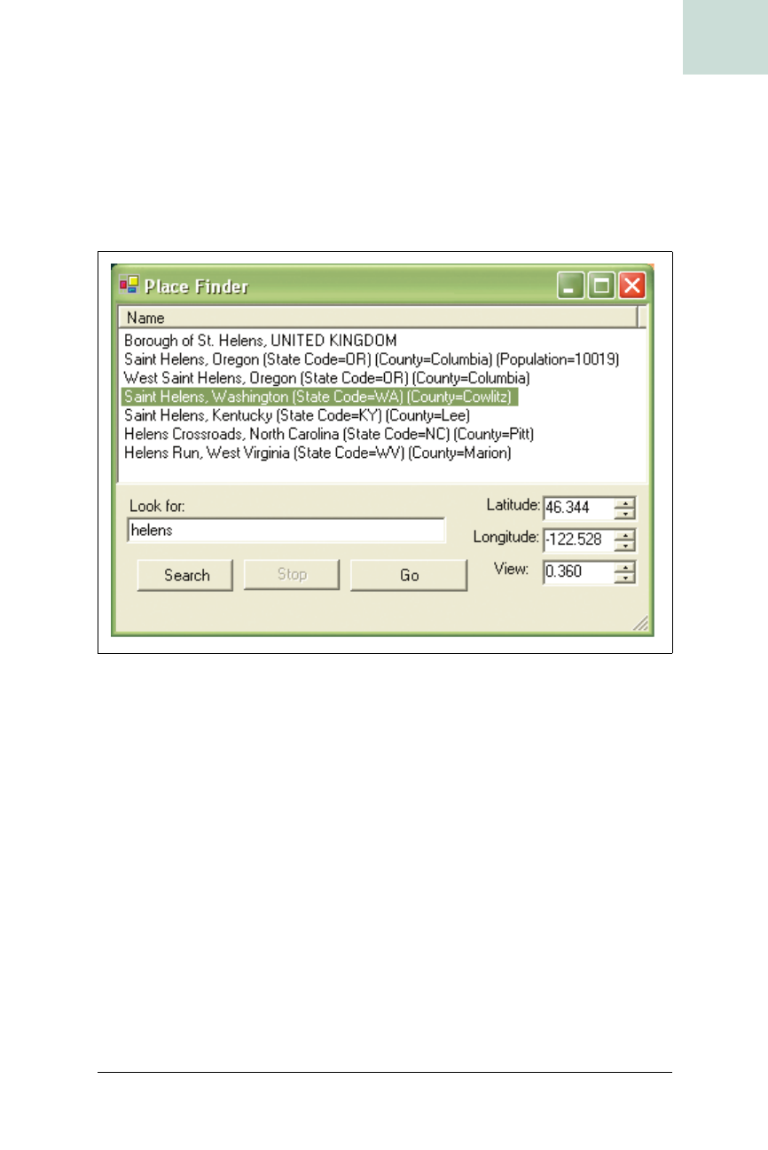
World Wind also features over four million place names and boundary lines
for countries and states, which you can view by selecting the “Borders and
Places” icon on the toolbar. If you click on the big magnifying glass icon or
go to Tools
➝ Place Finder, you will get a dialog box where you can type in a
name to be taken directly to that location, as shown in Figure 3-13.
A Sneak Peek into the Past
Since World Wind is part of a NASA initiative to help educators, they are
providing a peek at some future features of the program. If you click on the
“Lewis and Clark” icon in the toolbar, World Wind will overlay the route
Lewis and Clark took on their journeys, as shown in Figure 3-14. The num-
bered icons are interactive, and clicking on them will open a journal entry
on the Lewis and Clark web site (http://www.lewis-clark.org/).
Currently, there are no end-user tools to build the overlay files, but since
this is an open source project, hopefully the tools will be forthcoming.
Final Thoughts
Until now, a desktop-mapping application of this magnitude would have
been a pretty ambitious project, but it seems like NASA has pulled it off
Figure 3-13. World Wind’s Place Finder dialog


