Explore a 3-D Model of the Entire World #24
Chapter 3, Mapping Your World
|
107
HACK
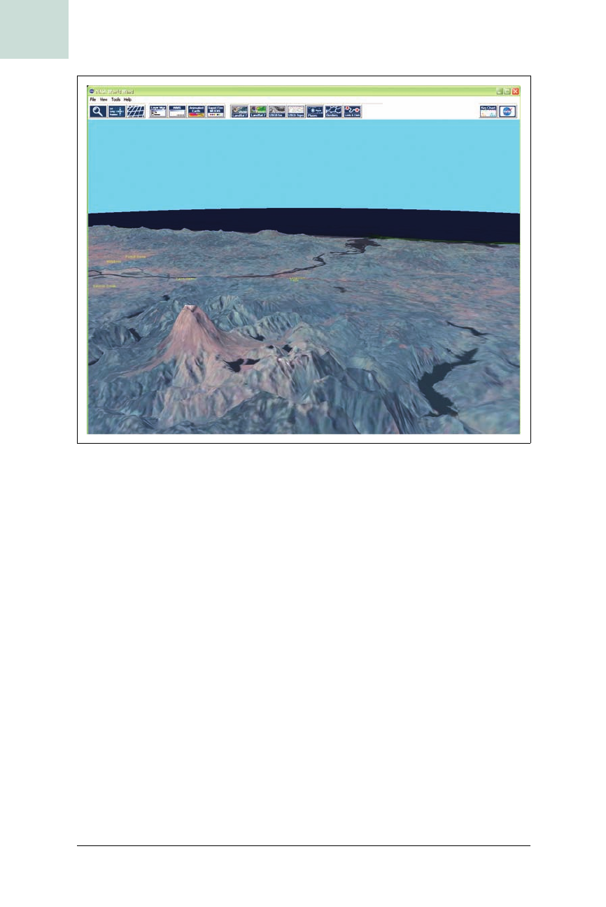
Exploring the Available Data Sets
World Wind has many data sets you can play with:
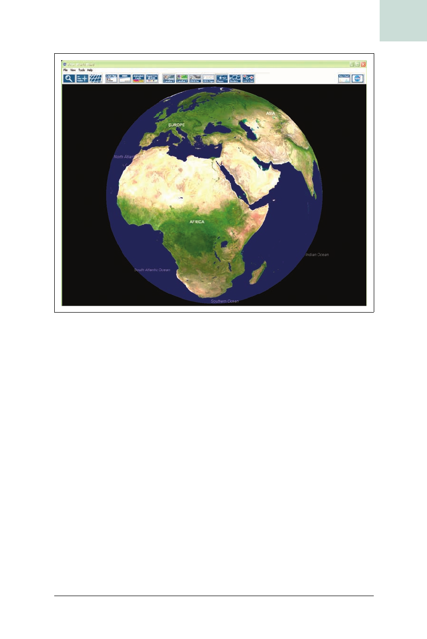
Blue Marble
The textured globe you see when you start the application.
Landsat 7
The default data set when you zoom in. The resolution of Landsat 7 is
15 meters per pixel. There are two varieties, normal and “pseudo,”
which is a false color map produced using the infrared bands in Land-
sat imagery.
Shuttle Radar Topography Mission (SRTM)
Digital elevation data for a given area. If you tilt the view by holding
down the right mouse button and moving the mouse, you will be able to
see mountains and valleys.
USGS/Terraserver 1 meter
The Terraserver images are the highest-detail maps World Wind can use
at the moment. With these, you can see cars and swimming pools.
Figure 3-11. World Wind’s startup view